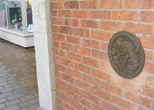
Mapping town's arts and heritage trail


All but one of 18 cast bronze roundels for the ‘When in Sleaford’ trail have now been installed around the town.
The map will be completed over the next few weeks ready for the new tourism season.
Advertisement
Hide AdAdvertisement
Hide AdLucy Lumb from ArtsNK explained the roundels were officially launched in a month-long exhibition last September/October when over 1,000 people visited Navigation House to view them, but now installed, commissioned artist David Mackie is putting the finishing touches to a map of the town showing suggested routes to reach all the points of interest, whether they be heritage landmarks, amenities or pieces of open air art.


Lucy said: “I want to get a few people to test it out and see if they can follow it and if it flows.”
The idea is that there is no set sequence to the trail. You can pick it up at any of the landmarks - copies of the map will be available at most locations, including the railway station and St Denys’ Church - and follow it in any direction, choosing to visit as many points of interest as you want.
Lucy said: “It is not a prescribed route. It is nearly three miles long and if you did the whole trail you might not have time to visit all the attractions fully. It is quite well spread from Rauceby Banks and the Manor House at Northgate to the Bass Maltings and Cogglesford Mill.”
Advertisement
Hide AdAdvertisement
Hide AdAs well as historic landmarks it takes in arts and nature places such as The Nettles, Lollycocks Field, the Recreation Ground and Castlefield.


As well as the map, there will be bite-sized guides to each roundel location and the story behind the designs, which were made in partnership over several months with Year Six pupils at William Alvey School.
Lucy said: “We have lots of ideas about how to involve people in the launch.”
There will also be guided walks of the trail in the future.